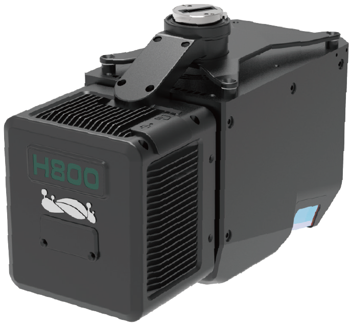
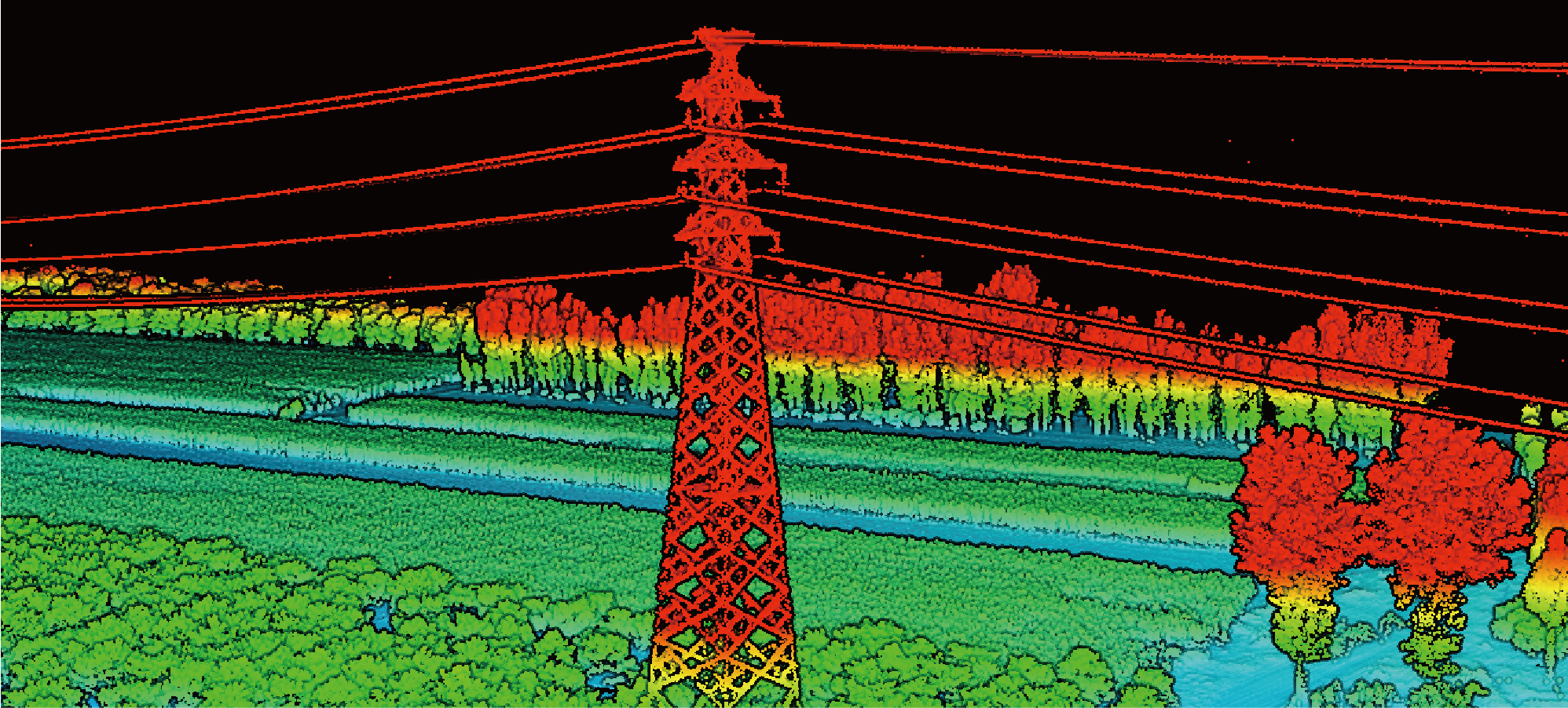
| LiAir H800 is a new generation of medium- and long distance measurement lidar scanning system developed by digital green earth. It integrates domestic light and small lidar, self-developed inertial navigation, and has built-in high-resolution surveying and mapping cameras, which combine the advantages of lightweight and long distance measurement.With the flight control software GreenValley and the data post-processing software LiGeoreference, it provides more efficient one-stop solutions for power channel inspection, forestry resource investigation, and emergency disaster detection. |  |
Product Advantages
Light and small size, long distance measurement
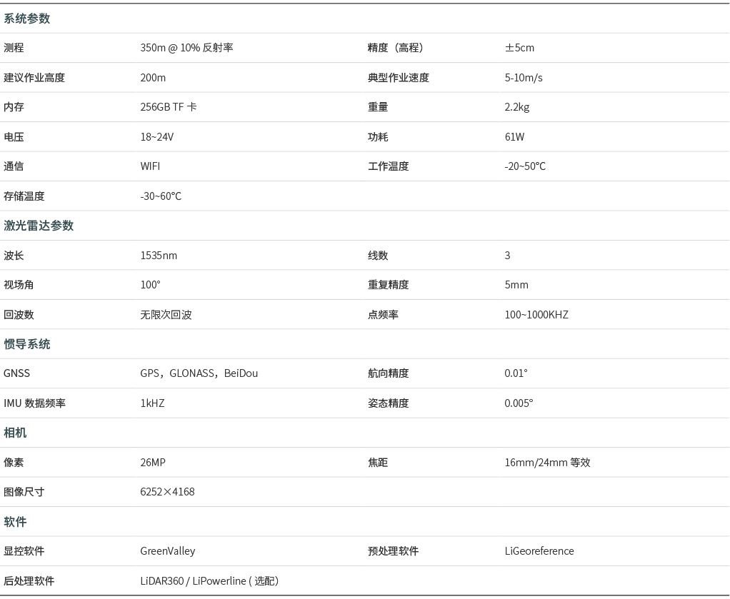
Integrated lightweight lidar, the whole machine weighs 2.2kg, can be equipped with M350\M300 RTK for operation; 1000KHZ laser point frequency, the farthest distance can reach 1000m; infinite echo data acquisition operation, and the vegetation coverage area can also obtain complete terraindata.
High efficiency, high precision
At 100° horizontal field of view, at 200m operating height, the effective bandwidth of a single aircraft belt is greater than 450m; the repeat range measurement accuracy is 5mm; the error in the elevation of a 200m aircraft high and low system is less than 5cm.
Adaptive radar speed, more even point cloud distribution
With a 9-speed aviation height, point frequency and energy configuration solution, the equipment can adaptively set the radar speed to ensure that the line interval and point interval are consistent in different measurement areas, ensuring uniform distribution of point clouds, and more accurately retaining the three-dimensional spatial characteristics of the ground objects.
Built-in camera, ultra-clear image quality
Built-in 2600w high-resolution surveying and mapping camera, 200m AV can obtain 4.7cm resolution images, and point cloud fusion can obtain high-precision true color point clouds to meet the production needs of surveying and mapping products.
Intelligent flight control mode
Intelligent flight altitude judgment, automatic data collection begins in the air, landing and stop data collection, while ensuring the integrity of the measurement area, it can minimize data redundancy.
Support GreenValley Flight Assistant
It supports operation status monitoring, equipment parameter configuration, and real-time display of three-dimensional point clouds. It has a more concise and clear interface settings, making external operations more handy.

Parameter list

