
LiBackpack 50 Backpack LiDAR Scanning System is a backpack-style indoor and outdoor integrated lidar scanning system that combines lidar and synchronous positioning and map construction (SLAM) technology to obtain high-precision three-dimensional surroundings in real time without GPS (GNSS).Point cloud data.It can be used in integrated indoor and outdoor measurement, acquisition of underground space information, tunnel engineering, digital factories, digital mines, forestry resource census, BIM, building facade measurement and other fields.
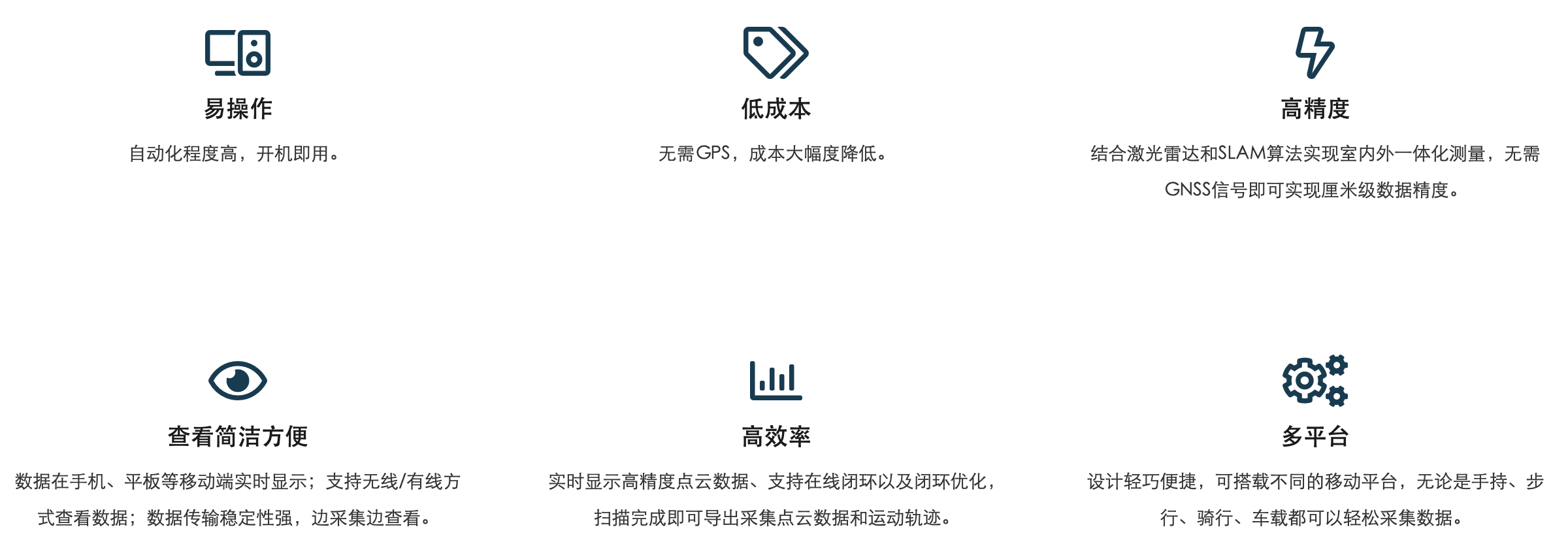
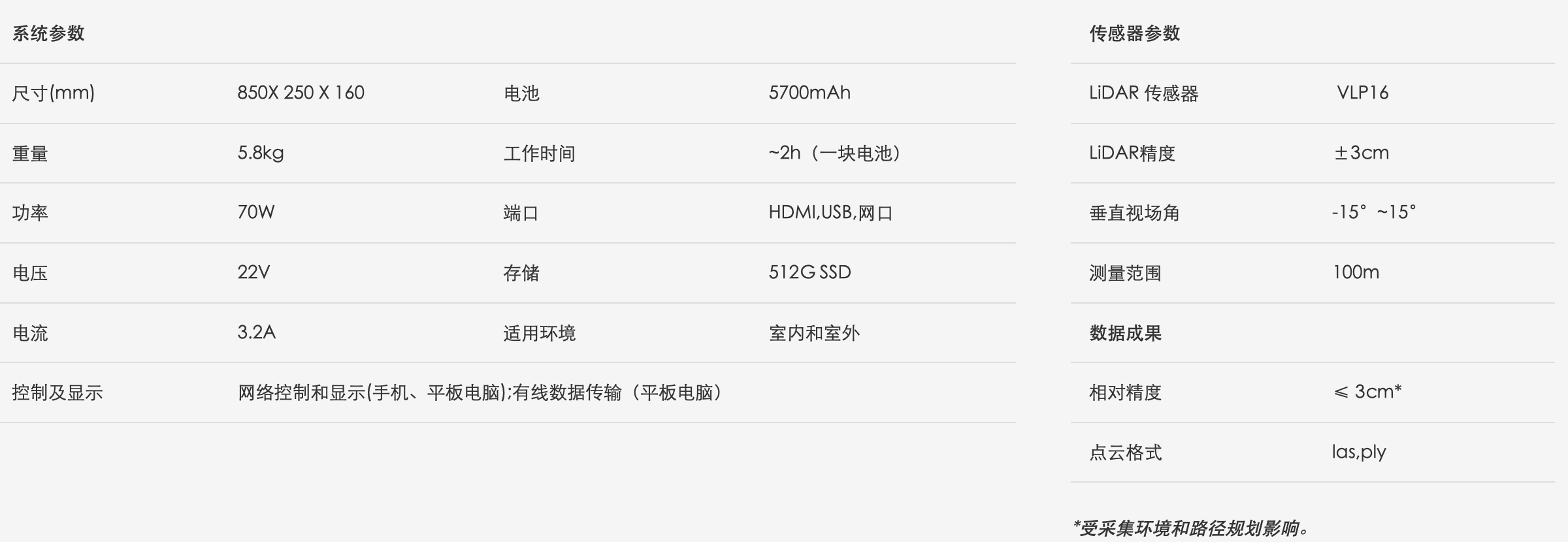
LiBackpack 50 is especially suitable for environments with rich three-dimensional structures, such as indoor buildings, outdoor forest areas, residential areas, etc.

Use LiBackpack 50 to quickly obtain three-dimensional laser point cloud data in the forest area along the planned route, and can count the tree's breast diameter, material volume, closure and other information.
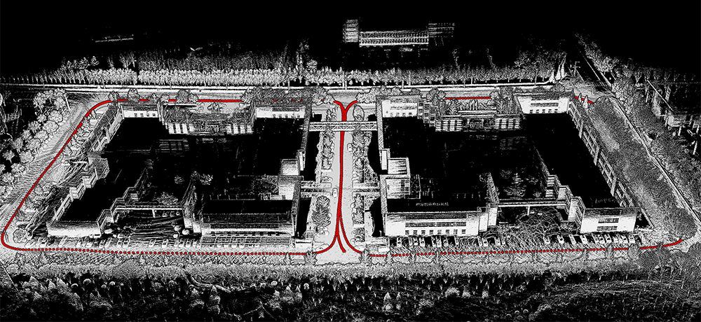
Use LiBackpack 50 to obtain a three-dimensional laser point cloud in the specified area along the planned route, and can produce DLG, building elevation, calculate building area, etc.

Use LiBackpack 50 to quickly obtain high-precision 3D laser point cloud data for underground garages along the planned route, and can produce DLG, three-dimensional models of underground garages, and count parking spaces.
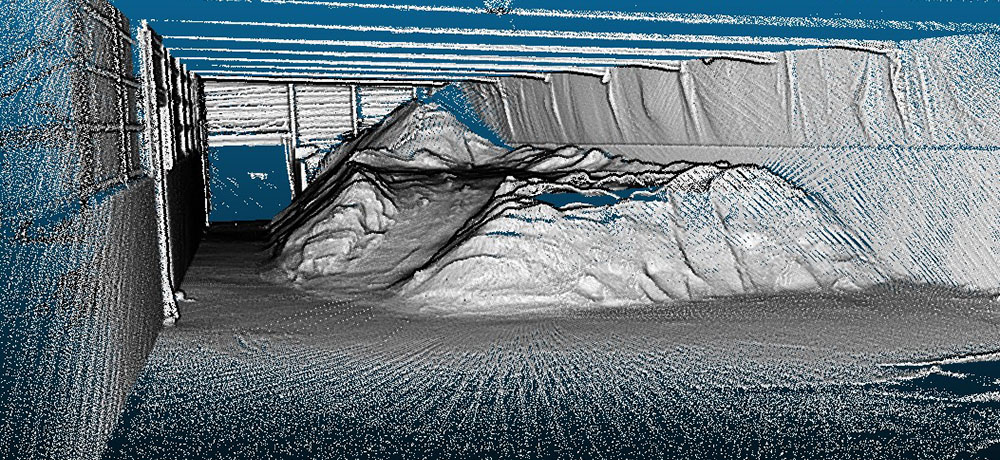
Use LiBackpack 50 to obtain the laser three-dimensional point cloud of the construction site along the planned route. You can measure the amount of soil deposited on the construction site, such as coal piles, ore piles, etc., and you can also measure data such as construction site excavation.
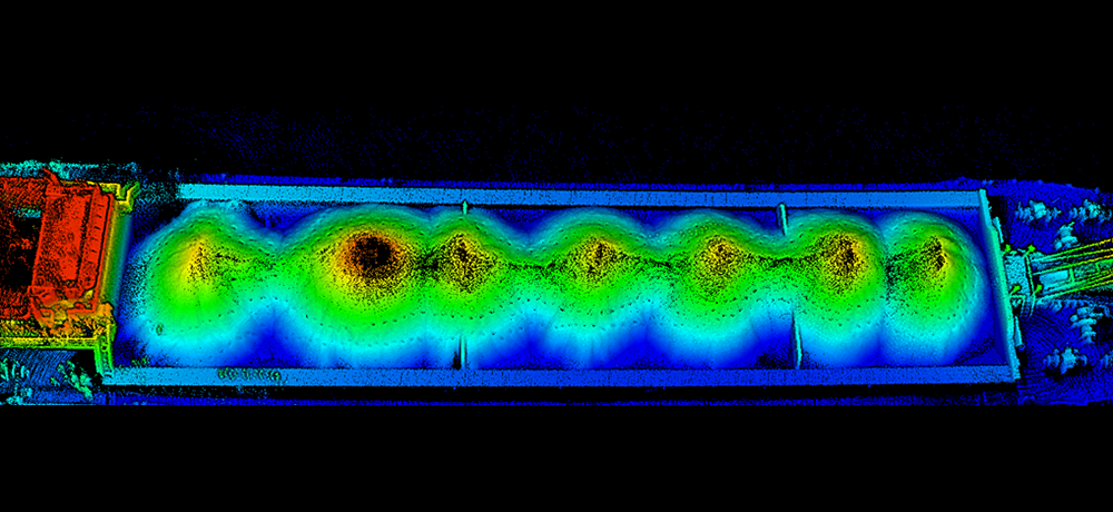
Use LiBackpack 50 to quickly obtain high-precision three-dimensional laser point cloud data of sand transport ships along the outer edge of the hull.By scanning each ship once for an empty ship to establish an empty ship database. When the hull is fully loaded, the sand-filled ship is scanned in the same way. Combining the two scan data, the amount of silt and sand on the ship can be calculated.
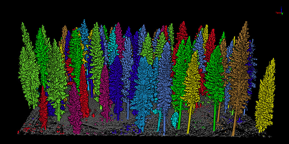
Forestry Resource Survey Application

Airborne/ground forestry
Use CHM or point cloud segmentation algorithm to segment single wood to obtain attributes such as single wood position, tree height, crown width, and breast diameter.


